Printed Maps of Crozet Trails
Download printable maps of:
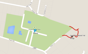
- Crozet Connector Trail map (in eastern Crozet)
- Henley Hornets Trail map(in Beaver Creek Park)
- Creekside Trail map (in Old Trail)
- Rowcross Trail map (in Old Trail)
Interactive Map Crozet Trail System
Click here to view an online Google map of trails around Crozet

Tips to viewing the Google map.
— A legend of symbols is available to the left of the map, including:
Parking locations; Trail access points; Sidewalks; Bridges and Boardwalks; and, more.
— Use your cursor to navigate around the map: left and right, up and down.
— Zoom in for more details about each trail and zoom out for an overview of the trails.
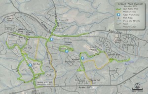
Crozet Trail System Map (not a Google map)
Click on the map below to view an enlarged version of the Crozet Trail System (updated 12.8.14) :
:
